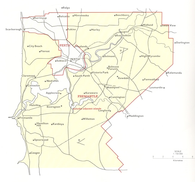
Map 3A: Map of the federal electorate of Fremantle from 1913-1921 showing detail of suburban boundaries.
JCPML. Records of the John Curtin Prime Ministerial Library.
Fremantle electorate map, 1913-1921. JCPML00968/1/3.
Reproduced from Commonwealth of Australia. 1901-1988 electoral
redistributions.
Canberra, 1989.
Courtesy of Geoscience Australia.